One for Every Day? How Antigua’s Beaches Differ
Antigua’s famous beach count is only the beginning. Coast, sand, reef and wind shape the shore—and can help explain what kind of day each side offers.
- Reading
- 4 min
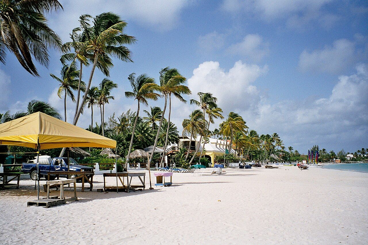
Imagine the question coming up over coffee: if Antigua has 365 beaches, how do you pick one for the day? The familiar count comes with a calendar-shaped story, which makes a neat little tale. It doesn’t tell the whole beach story, though. The coast changes character around the island, and sand, reef and wind all have a say. So the useful question isn’t only how many beaches there are. It’s what kind of shore the day calls for.
What does the count mean?
Is 365 a promise that every beach will feel different? Not quite. It’s the often-repeated count, and the more helpful distinction is between the island’s coasts. Beaches on the west and south-west face the Caribbean Sea and are usually calm. On the east coast, the Atlantic brings trade winds and bigger waves. That’s a real difference in the feel of the water, even before getting into the sand or the view. The count makes a good opening line; the coastline gives it a little more context.
Where would a calmer day begin? The west or south-west coast is the plain answer in the facts: those beaches face the Caribbean Sea and are usually calm. “Usually” matters here. It leaves room for the coast to be a coast, not a promise written on a beach sign. The east coast faces the Atlantic, catches the trade winds and has bigger waves. If the question is about the kind of water a beach day might bring, that contrast is more useful than choosing from a count.
What changes from shore to shore?
Why is so much of the sand white? Much of Antigua’s coastline is made of limestone and coral, and those produce white sand. That’s one part of the picture; the water has its own structure too. Coral reefs around much of the island protect many beaches from heavy swell. The reef is easy to forget when the beach is the thing in front of you, but it helps explain why the wave conditions aren’t simply the same everywhere. Coral reefs around much of the island protect many beaches from heavy swell.
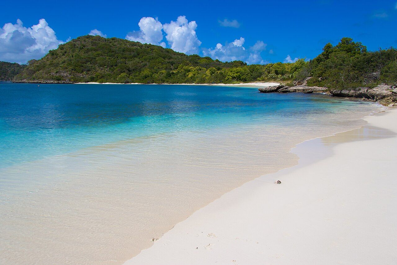
Coral reefs around much of the island protect many beaches from heavy swell.
So does the coast decide everything? No—the wind belongs in the answer as well. The north-east trade winds blow across Antigua for most of the year. On the east coast, which faces the Atlantic, those winds meet beaches that catch them and have bigger waves. Along the west and south-west, the beaches are usually calm. It’s a simple map of contrasts, not a claim that every beach on one side behaves exactly alike. The coast gives a useful starting point; reef and wind fill in the rest.
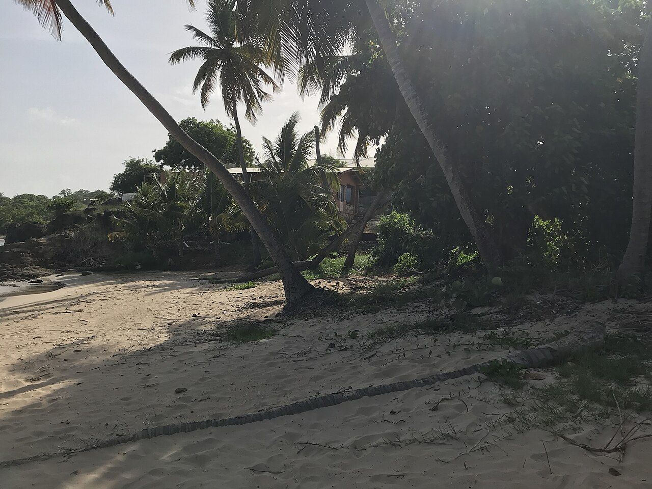
What might be growing behind the sand? Sea grapes, coconut palms and manchineel trees grow along the back of many Antiguan beaches. The manchineel is the one to know by name: its sap burns skin, and its small green apples must not be eaten. On Antiguan beaches, manchineel trees are often marked with a painted red band on the trunk. That detail belongs in the beach picture too—not as decoration, but as a practical clue about a tree that needs to be left alone.
What about wind, seaweed and water?
Can the Atlantic side look different from day to day? Sargassum seaweed sometimes washes up on Antigua’s Atlantic-facing beaches in large amounts. “Sometimes” is the important word: it’s a feature to know about, not a description of every Atlantic beach on every day. The wind, waves and seaweed all make the east coast a different proposition from the usually calm beaches on the west and south-west. And the reef, where it protects a beach from heavy swell, adds another piece to the picture. No single clue does all the explaining.
Is the water warm? Sea temperatures around Antigua stay warm all year, usually between about 26 and 29 degrees Celsius. That gives a broad sense of the water, while the coast tells more about the waves and the reef about protection from heavy swell. The useful shorthand is to think in combinations: Atlantic or Caribbean, wind or calm, reef or open swell. The beaches aren’t just a long list to tick off; their differences are written into the shores themselves (and the plants along the back of them).
How to choose a beach day?
Start with the kind of coast that sounds right, rather than treating 365 as a sorting system. If a usually calm setting is the priority, the west and south-west face the Caribbean Sea. If the Atlantic, trade winds and bigger waves are part of the appeal, the east coast has that combination. Much of the coastline has white sand from limestone and coral, while reefs protect many beaches from heavy swell. And all beaches on Antigua are public by law, though access across private land can be limited. Could the island's busiest stretch of sand be the choice?
So what does the famous 365-beach count really offer? A memorable way into a beach count, then a reason to ask better questions: which coast, what wind, what wave, what’s behind the sand? The north-east trade winds blow across the island for most of the year; the sea stays warm all year; and the coast changes from Caribbean Sea to Atlantic. There’s a lot packed into that famous number. Which part of the island would the day lead to?
The numbers: 365 beaches, as often said; sea temperatures usually about 26–29 degrees Celsius.
Photo credits: Z_dead from London, UK: Creative Commons BY 2.0; Andrew Moore: Creative Commons BY-SA 2.0; AntiguaAndBarbudaMedia: Creative Commons BY-SA 4.0.


