Beaches & Bays · Deep Bay
Deep Bay, the Andes and Fort Barrington
A beach, a shipwreck in shallow water, and a ruined fort on the headland: Deep Bay’s story comes in three parts, with a steep path to the walls.
- Parish
- St John
- From St John's
- 15 minutes
- Reading
- 4 min
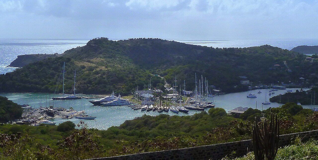
There’s a small surprise built into Deep Bay: the beach isn’t the whole story. The bay has the tidy outline of a horseshoe, but its other stories sit right in the scene—a ship in the water and a ruined fort on the headland. Put those together and the place starts to read like three answers to one question: what’s here? (The short answer is: quite a lot for a small bay.)
Myth and fact
Myth: Deep Bay is just a beach. Fact: it’s a small horseshoe-shaped bay on Antigua’s west coast, south-west of St John’s harbour. The beach is part of it, of course, but there’s also a salt pond behind the beach, and the water is often very still because the bay is protected from the trade winds. The sheltered shape, the pond, and the open water all belong to the same compact bit of coast. It’s a place where the setting has more than one layer, even before the wreck and the fort enter the picture.
Myth: the wreck must be somewhere out beyond the bay. Fact: the Andes lies in shallow water in the middle of Deep Bay. It’s visited by snorkellers, and fish such as sergeant majors and parrotfish gather around the hull. The shipwreck isn’t a separate destination offshore; it’s part of the bay itself. That’s a useful distinction when imagining the place: the ship rests in the middle, with the beach at the edge and the headland at the northern end. The Andes lies in shallow water in the middle of Deep Bay, and Fort Barrington stands on Goat Hill at its northern end.
The Andes lies in shallow water in the middle of Deep Bay, and Fort Barrington stands on Goat Hill at its northern end.
Myth: the Andes sank in some distant, mysterious past. Fact: the ship caught fire and sank in 1905. It was a three-masted ship carrying a cargo of pitch when the fire broke out. Those details make the wreck’s name feel less like a label on a map and more like the remains of a particular ship and a particular event. The facts are spare, but they’re vivid enough: a ship, a cargo of pitch, a fire, and the hull now resting in the shallow water of Deep Bay.
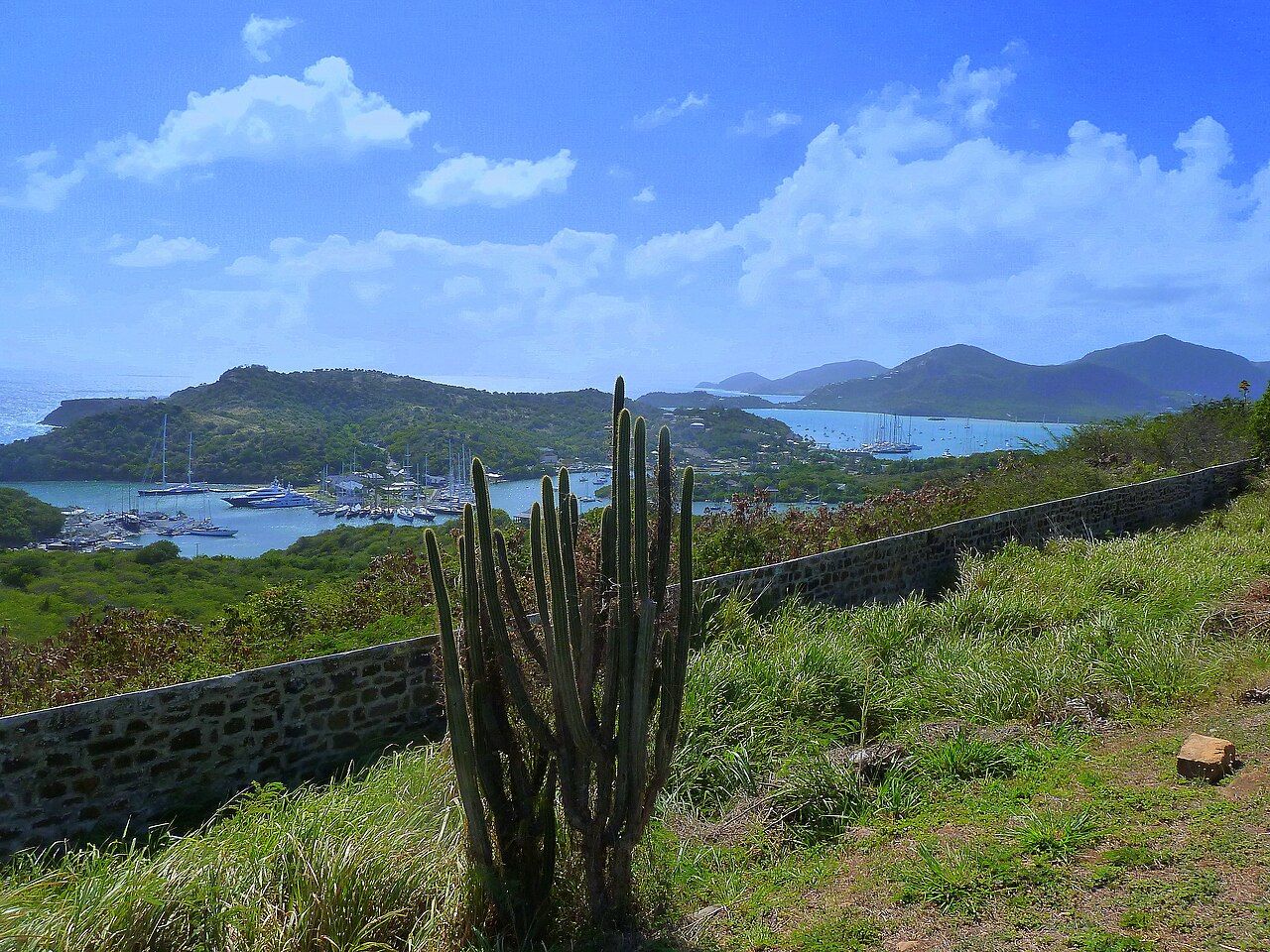
Myth: the wreck is the whole story beneath the surface. Fact: fish gather around its hull. Sergeant majors and parrotfish are among the fish found there, while snorkellers visit the wreck in its shallow-water setting. That’s the underwater part of the bay’s story, and it stays closely tied to the coastline rather than floating off into abstraction. For another coastal thread, there are also the beaches of the Five Islands peninsula. Deep Bay, though, has its own particular arrangement: a bay, a shipwreck in the middle, and a fort above the northern end.
Myth: Fort Barrington is somewhere apart from Deep Bay. Fact: it stands on Goat Hill, the headland at the bay’s northern end. Fort Barrington dates to the late 18th century and was built to guard the southern approach to St John’s harbour. That purpose gives the headland a clear place in the story: it’s not just a high point beside the bay, but a fort set there to watch an approach to the harbor. The old walls are reached from the beach by a steep footpath, so the shore and the fort are connected by a climb rather than by a long explanation.
Myth: getting to the fort is a level stroll from the beach. Fact: a steep footpath climbs from Deep Bay to its walls. The path makes the change in viewpoint part of the experience. At the beach, the wreck lies in the middle of the water; from Fort Barrington, there are views across the entrance of St John’s harbour and along the west coast. No need to invent a grand itinerary here: the route already links the main pieces, from the bay below to the fort on Goat Hill. It’s a short set of landmarks, with a properly uphill connection between them.
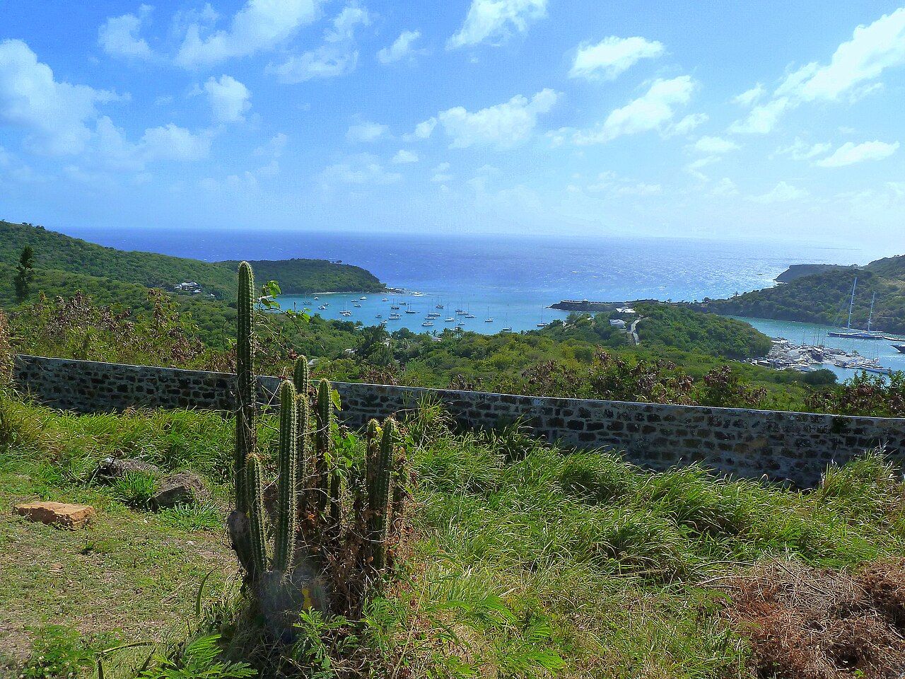
Myth: the water is always calm. Fact: it’s often very still, because Deep Bay is protected from the trade winds. “Often” matters. The fact is about the bay’s shelter and its usual character, not a promise that every moment looks the same. The horseshoe shape, the still water, and the wreck in the middle all help explain why Deep Bay is remembered as more than a stretch of coast. The climb adds another angle on it, and the salt pond sits quietly behind the beach, completing the scene without needing to compete with the ship or the fort.
So the simplest way to hold Deep Bay in mind is as a joined-up set of places: beach and salt pond, shallow wreck and fish, then a steep path to ruined walls with views over the harbor entrance and west coast. The bay’s shape shelters the water; the headland carries the fort; and the Andes gives the middle of the bay its own story. The joke is that the Andes went down, but the view from the fort stayed up.
The numbers: the Andes sank in 1905; Fort Barrington dates to the late 18th century.
Photo credits: giggel: Creative Commons BY 3.0; giggel: Creative Commons BY 3.0; giggel: Creative Commons BY 3.0.


