Hikes, Reefs & Barbuda · Mount Obama
Mount Obama, Antigua’s Highest Point
At about 402 metres, Mount Obama rises in the south-west hills. Its name remembers a change in 2009, while a steep road and track lead through scrub and dry forest toward the top.
- Parish
- St Mary
- From St John's
- 35 minutes
- Reading
- 3 min
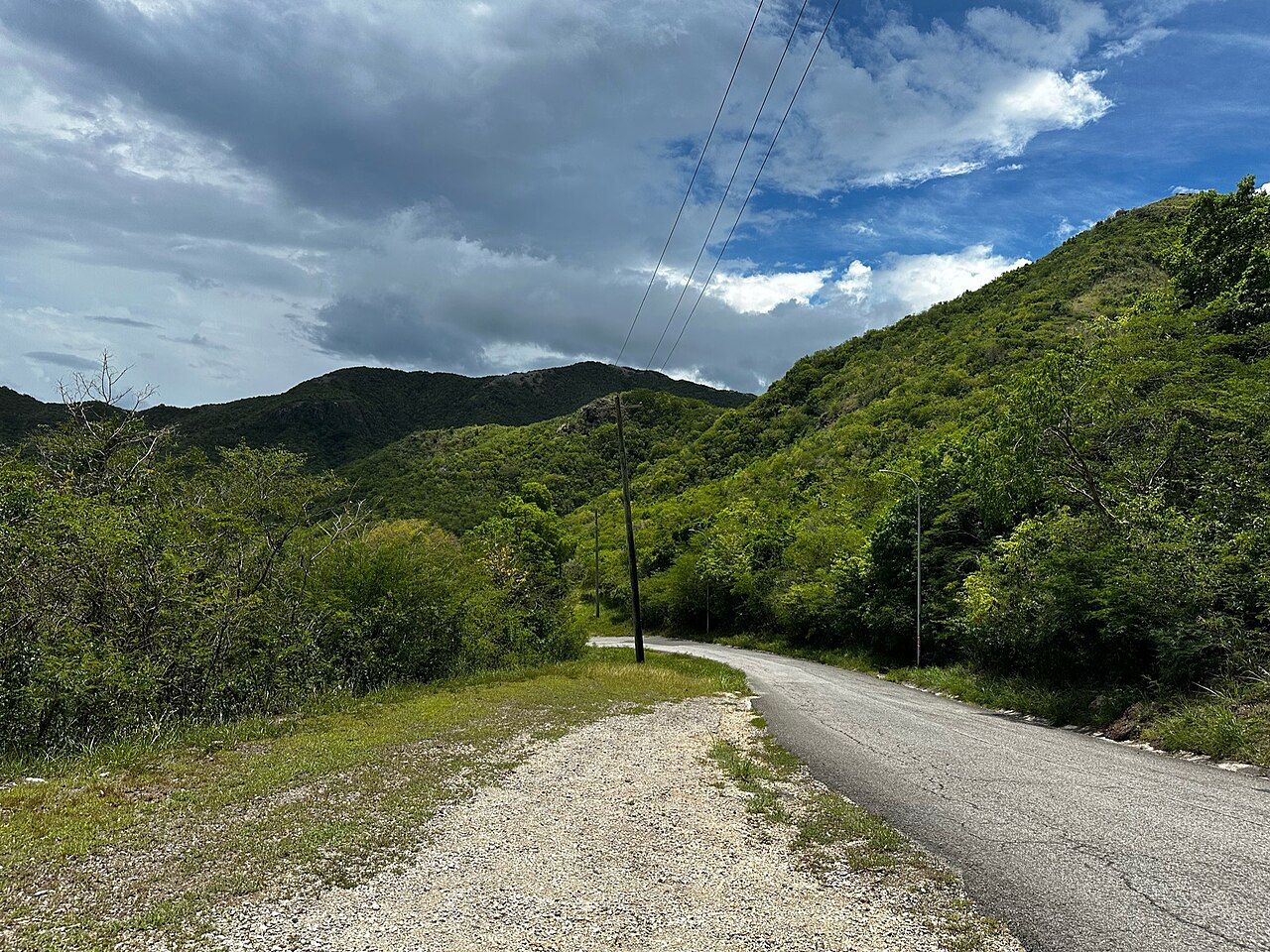
Morning on Mount Obama
About 402 metres: that’s Mount Obama’s height, and it makes this the highest point on Antigua. What kind of place rises to that height? It’s part of the Shekerley Mountains in the island’s south-west, where the hills are of volcanic origin. The north and east, by contrast, are flat limestone. So the peak belongs to a landscape with a different shape and origin from much of Antigua [a difference that begins before the walk does].
What was it called before? Boggy Peak. The name changed on 4 August 2009, when Boggy Peak was renamed Mount Obama on the birthday of Barack Obama. That’s the short version of the history, and it gives the summit two names to hold in mind: the former one, and the one it carries now. The height stays the same; the name is what marks the change.
What does the morning part of the itinerary tell us about the approach? A steep road and track lead toward the summit. Not a gentle, level route, then. The slopes are covered in dry forest and scrub, so the walk passes through that terrain as it climbs. The details are spare, but the shape of the outing isn’t: an upward route through scrub and forest, with the summit as its direction rather than a promise that every step is easy.
When the sun stands overhead
What’s the view from the slopes? Across the south-west coast, toward Montserrat and Guadeloupe. The wording matters: the views are described from the slopes, and the summit itself has communications masts. Those masts are part of what’s there at the top; the landscape around them reaches outward, across the coast and toward the two named islands. No need to add a grander claim to that. The view has its own geography.
How does the route fit into the wider island? Mount Obama is in the south-west, among volcanic hills, while the north and east are flat limestone. For a different way of naming a route through Antigua, there’s the island's greenest road. Here, the useful distinction is between the steep road and track leading toward the peak and the terrain they cross. Dry forest and scrub cover the slopes, and the land rises toward the highest point.
Late afternoon
What remains by late afternoon? The same height, the same name history, and the same south-west setting—though a day’s outline gives them a little sequence. First comes the question of what Mount Obama is: Antigua’s highest point, part of the Shekerley Mountains. Then comes what it used to be called: Boggy Peak, until the name change in 2009. Then the walk itself, up a steep road and track through dry forest and scrub.
And what does the place offer beyond the climb? From the slopes, views across the south-west coast to Montserrat and Guadeloupe; at the top, communications masts. The summit is modest in the plain sense that it’s a height you can state—about 402 metres—rather than a mountain that needs embellishment. Its history is just as plain: a former name, a new name, and the date that connects them.
So how should Mount Obama be remembered: as the island’s highest point, as Boggy Peak, or as the walk through the south-west hills where both names meet?
The numbers: about 402 metres; renamed on 4 August 2009.
Photo credits: CROIX: Creative Commons BY-SA 4.0.
